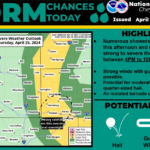
Torrington, WY (National Weather Service) April 25th, 2024 — We have a Slight Risk for severe thunderstorms (2 out of 5) mainly for areas east of I-25 into the Nebraska Panhandle. Numerous showers and thunderstorms will develop this afternoon and evening with a few storms being strong to severe capable of producing wind gusts over 60 MPH and quarter-sized hail. Additionally, storms may linger overnight with the chance of heavy rainfall and localized flooding, especially across the southern Nebraska Panhandle. Please have multiple ways to receive weather warnings. For more information on your local forecast go to: weather.gov/cys
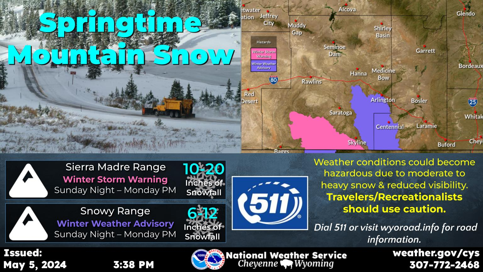
Unsettled weather will continue through the weekend across the area as a series of storm systems move across the region. Another round of scattered storms is expected Thursday afternoon and evening, some of which may be strong to severe. Storms will have the potential to produce gusty winds and hail. An isolated tornado cannot be ruled out. A Marginal (Level 1 of 5) risk for severe storms is in effect for much of the High Plains. Showers with a few embedded thunderstorms will continue on and off on Friday through early Sunday. Expect precipitation to taper off Sunday. Snow may mix in with rain for areas of Wyoming mainly above 6000 ft late Saturday through early Sunday. Accumulating snow is expected above 8000 ft. Drier weather, sunshine, and warmer temperatures will return to the area early next week.